
Hong Kong Traffic Injury Collision Database
Open data and interactive mapping to drive safer street design.

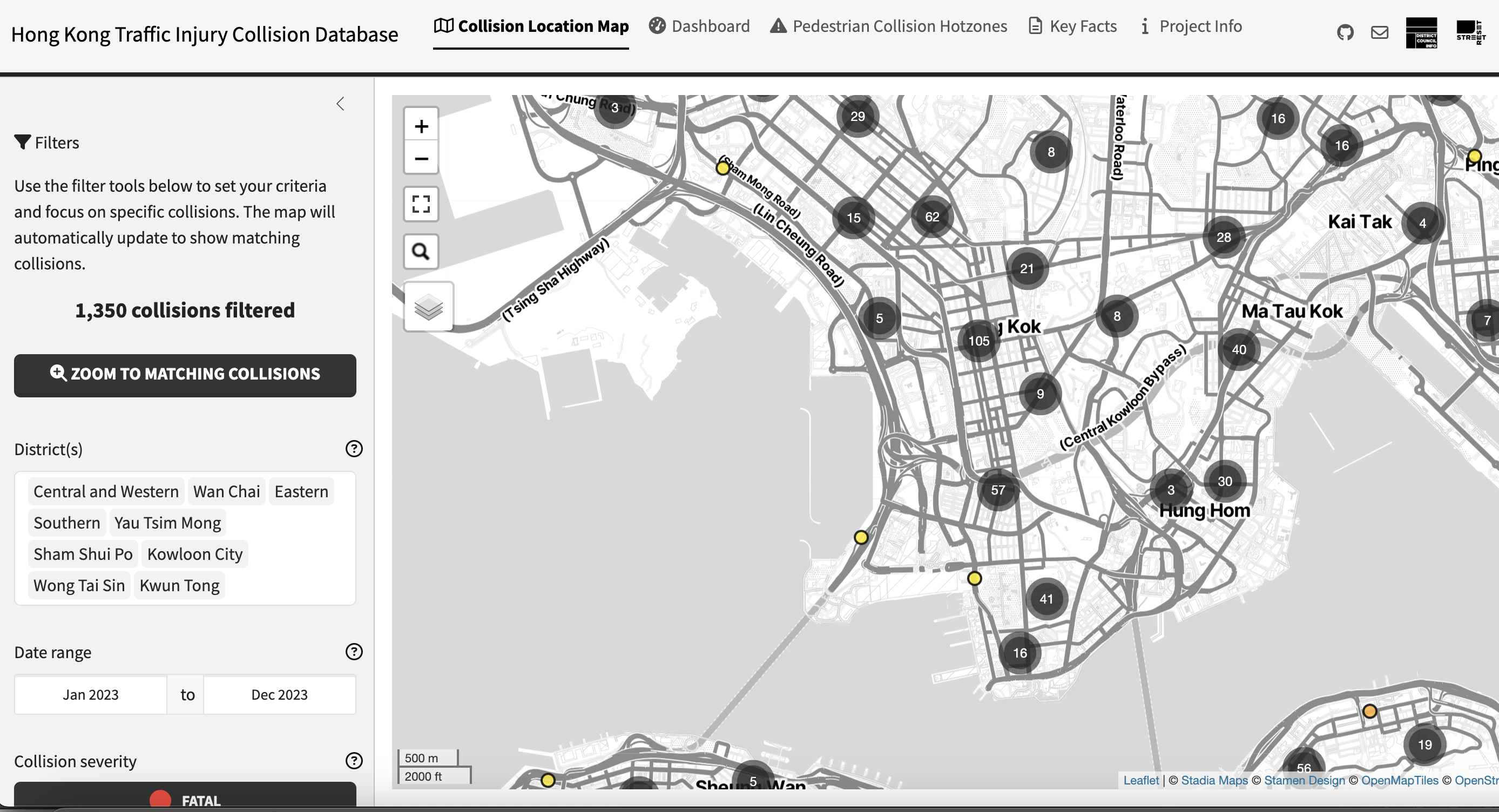
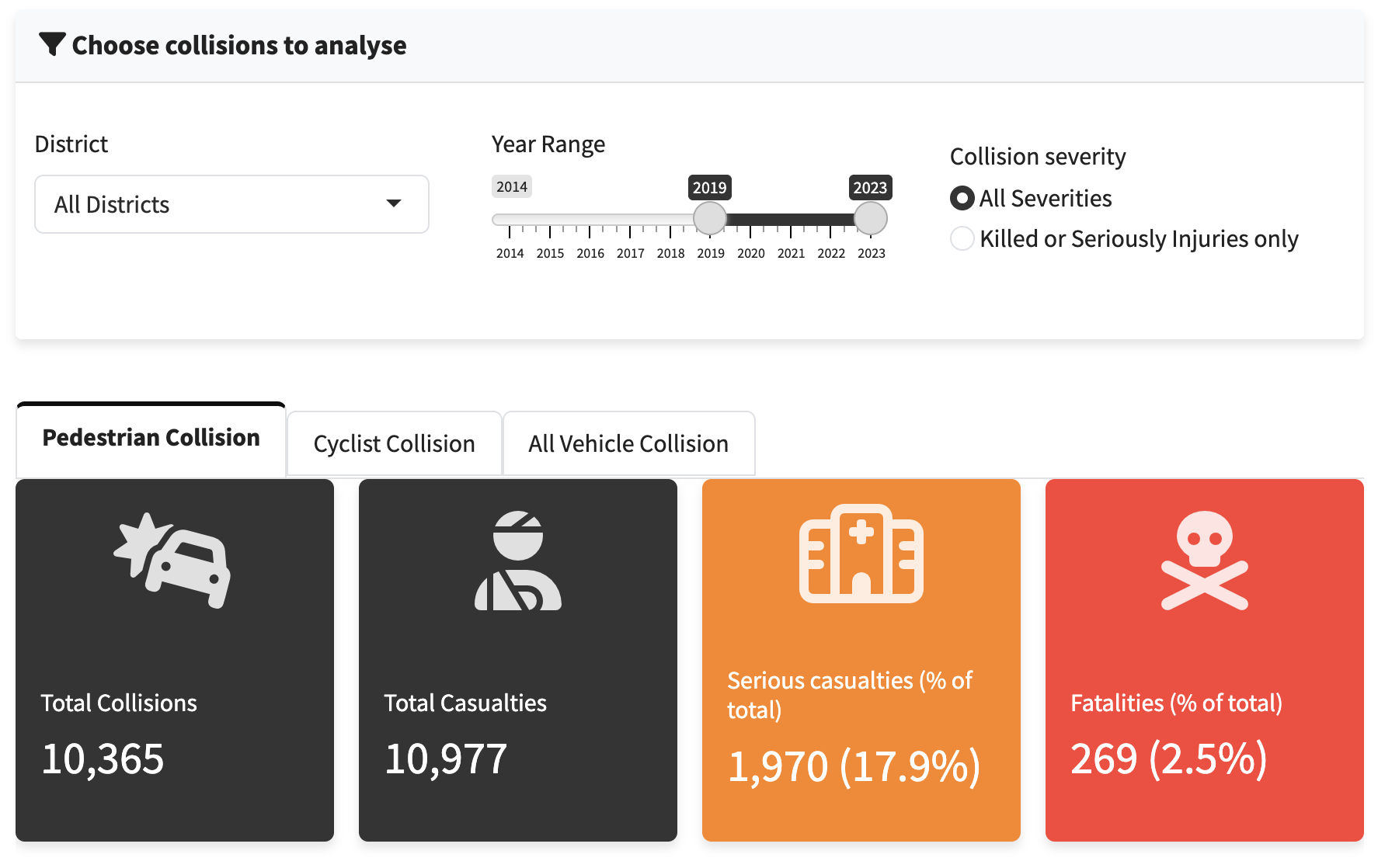
The Hong Kong Traffic Injury Collision Database visualises public collision records obtained from the Transport Department through an interactive map and data dashboard. Every injury collision across the city is plotted with its location and details, so anyone can see where and how people are being hurt on our streets — making the road danger hidden behind large statistics clearly visible.
The project aims to make the public confront how seriously collisions threaten pedestrians and cyclists, and to press for systemic street-design remedies that protect vulnerable road users. It also gives journalists, legislators, academics and government departments clear, accessible data and insights, helping every part of society examine and genuinely improve Hong Kong's collision record.
Interactive Mapping
Every recorded collision, plotted geographically — revealing the hotspots and patterns that raw numbers hide.
Open & Sourced
Built on official records and made publicly accessible, so the evidence is transparent and anyone can explore it.
Evidence for Change
The data underpins our advocacy, helping target the streets and designs most in need of a rethink.

Support our cause.
Join our Patreon community for exclusive content.
 Subscribe Patreon